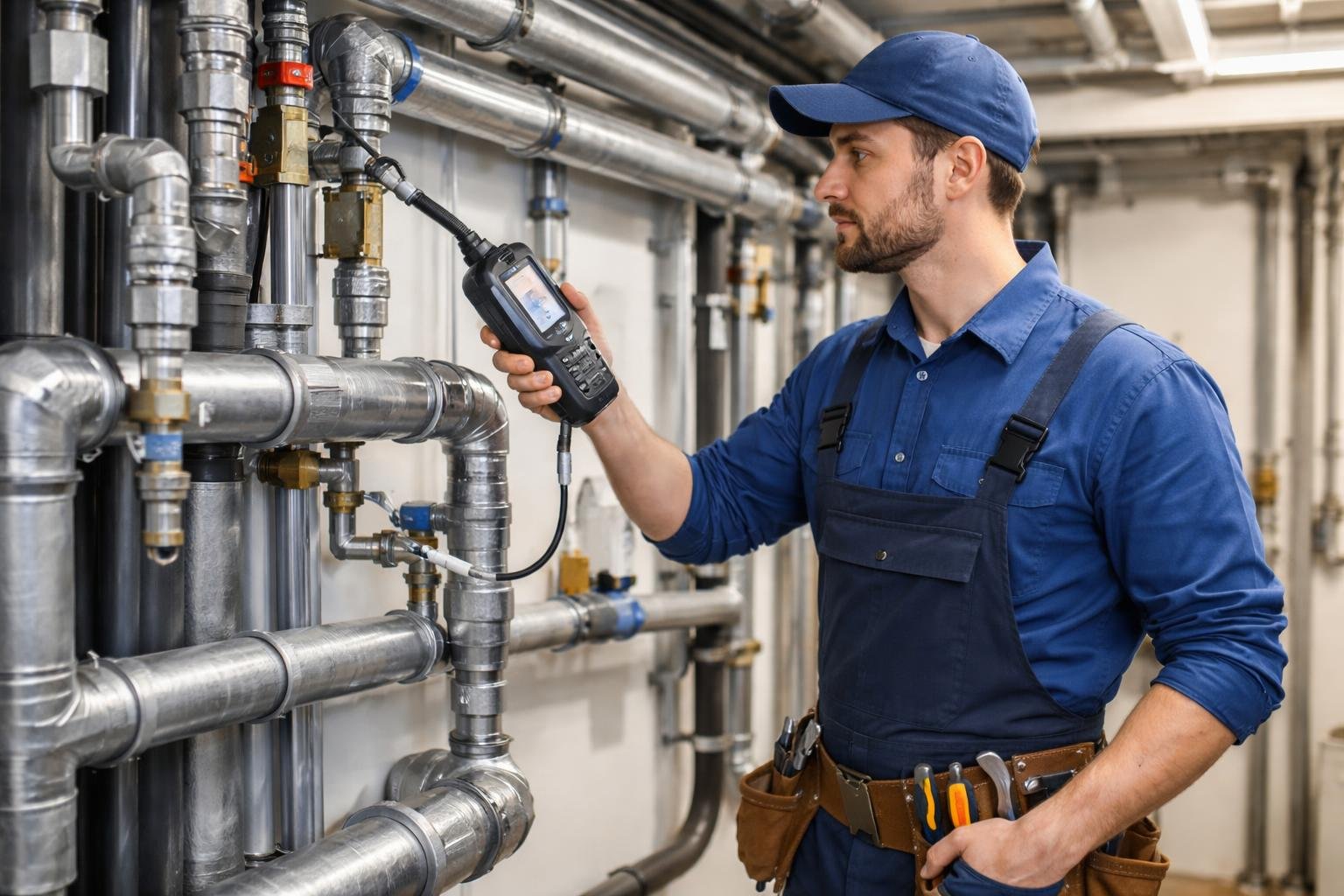
How GPS Tracking Supports Emergency Response Vehicles in Critical Situations
How to start saving money
Lorem ipsum dolor sit amet, consectetur adipiscing elit lobortis arcu enim urna adipiscing praesent velit viverra sit semper lorem eu cursus vel hendrerit elementum morbi curabitur etiam nibh justo, lorem aliquet donec sed sit mi dignissim at ante massa mattis.
- Neque sodales ut etiam sit amet nisl purus non tellus orci ac auctor
- Adipiscing elit ut aliquam purus sit amet viverra suspendisse potent
- Mauris commodo quis imperdiet massa tincidunt nunc pulvinar
- Excepteur sint occaecat cupidatat non proident sunt in culpa qui officia
Why it is important to start saving
Vitae congue eu consequat ac felis placerat vestibulum lectus mauris ultrices cursus sit amet dictum sit amet justo donec enim diam porttitor lacus luctus accumsan tortor posuere praesent tristique magna sit amet purus gravida quis blandit turpis.

How much money should I save?
At risus viverra adipiscing at in tellus integer feugiat nisl pretium fusce id velit ut tortor sagittis orci a scelerisque purus semper eget at lectus urna duis convallis. porta nibh venenatis cras sed felis eget neque laoreet suspendisse interdum consectetur libero id faucibus nisl donec pretium vulputate sapien nec sagittis aliquam nunc lobortis mattis aliquam faucibus purus in.
- Neque sodales ut etiam sit amet nisl purus non tellus orci ac auctor
- Adipiscing elit ut aliquam purus sit amet viverra suspendisse potenti
- Mauris commodo quis imperdiet massa tincidunt nunc pulvinar
- Adipiscing elit ut aliquam purus sit amet viverra suspendisse potenti
What percentege of my income should go to savings?
Nisi quis eleifend quam adipiscing vitae aliquet bibendum enim facilisis gravida neque. Velit euismod in pellentesque massa placerat volutpat lacus laoreet non curabitur gravida odio aenean sed adipiscing diam donec adipiscing tristique risus. amet est placerat in egestas erat imperdiet sed euismod nisi.
“Nisi quis eleifend quam adipiscing vitae aliquet bibendum enim facilisis gravida neque velit euismod in pellentesque”
Do you have any comments? Share them with us on social media
Eget lorem dolor sed viverra ipsum nunc aliquet bibendum felis donec et odio pellentesque diam volutpat commodo sed egestas aliquam sem fringilla ut morbi tincidunt augue interdum velit euismod eu tincidunt tortor aliquam nulla facilisi aenean sed adipiscing diam donec adipiscing ut lectus arcu bibendum at varius vel pharetra nibh venenatis cras sed felis eget.
In emergency situations, every second counts. The efficiency of response vehicles can significantly impact outcomes. GPS tracking provides crucial real-time data that enables these vehicles to reach their destinations faster and more effectively.
By pinpointing the exact location of each emergency response unit, GPS technology allows dispatchers to allocate resources optimally and avoid traffic congestion.

The integration of GPS tracking systems in emergency response vehicles not only enhances speed but also improves communication between teams. This technology assists responders in navigating to the scene while receiving updates on changing conditions, ensuring they are well-prepared upon arrival.
With the ability to track multiple units simultaneously, authorities can maintain an overview of on-ground operations, leading to a coordinated and efficient emergency response.
As urban landscapes become more complex, the role of GPS tracking in emergency management continues to evolve. It has become apparent that utilizing this technology is essential for any modern emergency service aiming to provide timely and effective assistance to those in need.
The Role of GPS in Emergency Response

GPS technology plays a critical role in enhancing the capabilities of emergency response vehicles. By providing precise location data, GPS supports emergency responders in various crucial tasks, improving communication, coordination, and operational efficiency during crises.
Enhancing Communication and Coordination
Effective communication is vital for emergency responders. GPS technology facilitates real-time location sharing among teams. This means that responders can see each other's positions on a map, allowing for better coordination and collaboration.
With tools like dispatch systems integrated with GPS, operators can quickly assign the nearest units to incidents. This minimizes confusion and ensures that all responders are informed about the situation, location, and required resources.
Additionally, GPS allows for streamlined updates during an ongoing emergency, ensuring that all involved parties are aware of changes in the situation as they happen.
Optimizing Response Times
Minimizing response times is crucial in emergencies where every second counts. GPS significantly enhances route planning by providing the most efficient paths for emergency vehicles.
By analyzing traffic conditions in real-time, GPS can suggest alternative routes, helping responders avoid congested areas. This capability allows for quicker arrivals at the scene, enabling timely assistance to those in need.
Furthermore, analytics from GPS data help emergency services identify recurring bottlenecks, leading to improved planning for future emergencies.
Supporting Disaster Recovery Efforts
After a disaster, GPS technology remains essential for recovery efforts. It aids in mapping affected areas, allowing responders to efficiently assess damage and allocate resources where needed.
With GPS tracking, teams can monitor the distribution of supplies, ensuring that assistance reaches the right locations. It also enables strategic planning for re-establishment operations, making sure that responders can reach those who are most vulnerable.
Moreover, integrating GPS data with other technology can enhance future disaster preparedness by highlighting areas at risk and identifying effective response routes.
GPS Tracking Features and Capabilities

GPS tracking provides essential functionalities that enhance the efficiency and safety of emergency response vehicles. Key features include real-time monitoring, data-driven insights for informed decision-making, and robust protection against theft.
Real-Time Tracking and Monitoring
Real-time tracking enables emergency response teams to monitor vehicle locations instantly. This capability ensures that dispatchers can quickly identify the nearest available units, reducing response times significantly.
A GPS tracking system uses satellite signals to provide continuous location updates. The system typically updates every few seconds, allowing for precise routing and coordination during emergencies.
Map integration displays these locations, offering visual representation for quick assessments. Alerts can notify operators of any deviations from assigned routes, ensuring adherence to planned responses.
Data-Driven Insights for Decision Making
Data-driven insights from GPS tracking systems offer valuable information for decision-making. Historical data on vehicle routes, timings, and performance can reveal patterns that optimize emergency responses.
Predictive analytics can forecast potential incidents based on past data, enabling better resource allocation. This approach supports strategic planning and prepares teams for high-demand periods.
Integrating this data into operational dashboards provides accessible insights. Decision-makers can analyze various metrics, such as response times and coverage areas, enhancing overall emergency service effectiveness.
Asset Protection and Theft Prevention
GPS tracking plays a crucial role in asset protection and theft prevention. Emergency vehicles equipped with GPS devices benefit from enhanced security measures.
In case of unauthorized movements, real-time alerts notify operators, enabling rapid response. This feature is critical for minimizing losses and recovering stolen vehicles swiftly.
Asset tracking capabilities include monitoring vehicle health and maintenance schedules. Regular data from GPS systems can help predict potential mechanical failures, ensuring vehicles remain operational and secure.
Improving Emergency Services with GPS Technology

GPS technology significantly enhances the efficiency and effectiveness of emergency services. It helps in optimizing resource allocation, improving patrol route management, and facilitating better communication among various agencies.
Enhancing Resource Allocation
GPS tracking solutions allow emergency services to monitor the real-time location of their vehicles. This capability enables quick identification of the nearest available units to respond to incidents.
By utilizing data analytics, emergency services can also assess demand patterns in various regions. This information informs strategic placement of resources, ensuring that critical areas are adequately covered.
Effective resource allocation reduces response times, which can be crucial in emergencies. Improved accessibility to resources ultimately leads to better outcomes for those in distress.
Managing Patrol Routes and Road Conditions
With GPS, emergency vehicles can navigate efficiently through real-time traffic updates and road conditions. This information helps in adjusting patrol routes dynamically, ensuring the fastest arrival at the scene.
Emergency services can bypass congested areas and roadblocks by accessing current data. This minimizes delays and enhances the chances of timely intervention during emergencies.
Additionally, monitoring routes helps in assessing road conditions and identifying hazardous zones. Such proactive measures contribute to overall public safety and more organized response efforts.
Facilitating Interagency Collaboration
GPS technology enhances communication among different emergency service agencies. Real-time location data enables coordination during multi-agency responses, such as natural disasters.
Sharing location information through centralized systems allows agencies to harmonize efforts efficiently. This collaboration strengthens situational awareness, leading to improved decision-making in critical scenarios.
Standardized GPS systems promote seamless information exchange, minimizing confusion during emergencies. Enhanced collaboration fosters a unified response approach, significantly benefiting community safety.
Use Cases of GPS in Various Emergency Scenarios

GPS technology plays a crucial role in enhancing the efficiency and effectiveness of emergency response in various scenarios. By providing real-time location data, it enables better coordination and decision-making during critical moments.
Hurricane and Flood Response
In hurricane and flood situations, GPS tracking assists emergency vehicles in navigating hazardous areas. Rescue teams can use GPS to identify the quickest routes that avoid blockages and flooded zones.
This capability speeds up the evacuation process, ensuring that individuals in peril reach safety promptly. Flood recovery efforts also benefit from GPS as it helps locate stranded individuals or assess damage after the event.
Specific applications include:
- Route Optimization: Navigates around obstacles.
- Victim Location: Pinpoints those needing assistance.
Wildfire Fighting and Containment
Wildfires present a unique challenge for emergency services. GPS tracking allows firefighters to monitor the fire's spread in real time. They can track emergency vehicles to ensure they are positioned effectively.
This technology supports the management of resources by providing direct information about the locations of units. Additionally, it aids in coordinating efforts between multiple agencies involved in wildfire response.
Key benefits include:
- Resource Allocation: Ensures effective distribution of equipment.
- Safety Monitoring: Tracks firefighter locations to enhance safety.
Urban Search and Rescue Operations
In urban settings, GPS supports search and rescue operations following disasters. It enhances coordination among different emergency teams working in densely populated areas.
Search teams can cover vast territories methodically while using GPS to mark locations of found victims. This ensures nothing is overlooked, making the rescue process more efficient.
Essential features include:
- Area Mapping: Identifies grids that need coverage.
- Communication Link: Keeps teams connected in real-time.
Challenges and Considerations in GPS Tracking for Emergency Vehicles

GPS tracking for emergency vehicles presents several challenges and considerations that impact its effectiveness. These issues can affect response times, operations during natural disasters, data security, and accuracy.
Reliability During Natural Disasters
Natural disasters can disrupt GPS signals, making it difficult for emergency services to locate and respond effectively. Inclement weather, such as heavy rain or storms, may lead to satellite signal degradation.
Obstacles like tall buildings and mountainous terrain can obstruct GPS reception. During major events, such as hurricanes or earthquakes, rapid urban changes may impact mapping accuracy, delaying disaster relief efforts.
To mitigate these issues, emergency responders often utilize backup systems like radio communication alongside GPS devices. As technology evolves, integrating advanced mapping and satellite systems can improve reliability in extreme conditions.
Security and Privacy Concerns
The collection of location data from GPS tracking raises significant security and privacy considerations. Emergency response agencies must implement measures to protect sensitive information from unauthorized access or breaches.
Data encryption and secure communication channels are essential to safeguard location data. There is also a concern regarding who has access to this information and how it is used.
Emergency agencies must adhere to regulations that govern data privacy while still maintaining effective communication and operational efficiency. Balancing these needs requires careful planning and strategy.
Impact of Climate Change on Tracking Accuracy
Climate change has introduced new variables that can affect GPS tracking accuracy. Increased frequency of severe weather events can disrupt signal quality and reliability.
For instance, flooding may alter geographic landscapes, requiring constant updates to mapping systems. Emergency responders need timely access to accurate maps that reflect real-world conditions for effective asset management.
Technological advancements such as predictive analytics could play a role in anticipating disruptions. Staying informed on climate trends ensures that emergency services can adapt their tracking systems to maintain response effectiveness amidst changing environmental conditions.
Future of GPS Tracking in Emergency Response

The future of GPS tracking in emergency response vehicles is set to enhance various operational facets. Key advancements include improved asset tracking and real-time location sharing, alongside integration with other technologies for more efficient emergency management. Additionally, predictive analytics will play a significant role in enhancing response times and overall efficiency.
Advancements in GPS Asset Tracking
Emerging innovations in GPS asset tracking are transforming emergency response capabilities. New satellite technologies offer higher accuracy and reliability, even in challenging environments.
Key features include:
- Enhanced Tracking Precision: Advanced GPS receivers improve location accuracy, vital for navigating urban and rural settings.
- Real-Time Data Sharing: Immediate access to location data enables dispatch centers to allocate resources more effectively.
Moreover, devices such as smartwatches are being equipped with GPS functionalities. This allows first responders to track their locations and communicate more efficiently in critical situations.
High-resolution mapping continues to evolve, providing responders with terrain-specific data for better navigation.
Integration with Other Technologies
The integration of GPS tracking with other advanced technologies can significantly streamline emergency responses. For instance, pairing GPS data with mobile applications enables instant communication between responders and command centers.
Key integrations include:
- IoT Devices: Sensors can monitor vehicle health, alerting teams to potential issues before they lead to breakdowns.
- Drone Technology: Drones equipped with GPS can provide aerial views of emergencies, aiding ground teams with situational awareness.
This interconnectedness allows for a unified approach, improving response times and coordination among multiple agencies involved in emergencies, such as fire, police, and medical services.
Improving Predictive Capabilities for Emergency Response
Predictive analytics powered by GPS data can greatly enhance emergency response strategies. By analyzing historical data on traffic patterns and incidents, agencies can forecast high-risk areas and times.
Benefits include:
- Optimized Routing: Predictive models can suggest the quickest routes, reducing response times during emergencies.
- Resource Allocation: Understanding trends in emergencies allows for targeted placement of emergency resources.
This proactive approach not only assists in immediate response scenarios but also contributes to long-term planning and preparedness. Using GPS data in conjunction with predictive analytics can provide actionable insights that lead to more efficient emergency management practices.
Conclusion

GPS tracking plays a crucial role in enhancing the efficiency of emergency response vehicles. With real-time monitoring capabilities, first responders gain immediate visibility into the locations of police and emergency vehicles.
This technology aids in decision-making during critical situations. Quick access to location data allows dispatchers to direct resources effectively, ensuring a faster response to emergencies.
Additionally, the integration of GPS tracking with mobile devices, such as phones, provides valuable information directly to first responders on the ground. This connectivity enables them to navigate to incidents swiftly while considering traffic conditions.
Benefits of GPS tracking for emergency responders include:
- Faster Responses: Reduced time to arrive at the scene.
- Resource Allocation: Optimal deployment of emergency vehicles based on real-time data.
- Increased Safety: Enhanced situational awareness for responders in the field.
The adoption of GPS tracking technology significantly improves the operational capabilities of emergency response teams. This helps them save lives and enhance public safety.