How to start saving money
Lorem ipsum dolor sit amet, consectetur adipiscing elit lobortis arcu enim urna adipiscing praesent velit viverra sit semper lorem eu cursus vel hendrerit elementum morbi curabitur etiam nibh justo, lorem aliquet donec sed sit mi dignissim at ante massa mattis.
- Neque sodales ut etiam sit amet nisl purus non tellus orci ac auctor
- Adipiscing elit ut aliquam purus sit amet viverra suspendisse potent
- Mauris commodo quis imperdiet massa tincidunt nunc pulvinar
- Excepteur sint occaecat cupidatat non proident sunt in culpa qui officia
Why it is important to start saving
Vitae congue eu consequat ac felis placerat vestibulum lectus mauris ultrices cursus sit amet dictum sit amet justo donec enim diam porttitor lacus luctus accumsan tortor posuere praesent tristique magna sit amet purus gravida quis blandit turpis.

How much money should I save?
At risus viverra adipiscing at in tellus integer feugiat nisl pretium fusce id velit ut tortor sagittis orci a scelerisque purus semper eget at lectus urna duis convallis. porta nibh venenatis cras sed felis eget neque laoreet suspendisse interdum consectetur libero id faucibus nisl donec pretium vulputate sapien nec sagittis aliquam nunc lobortis mattis aliquam faucibus purus in.
- Neque sodales ut etiam sit amet nisl purus non tellus orci ac auctor
- Adipiscing elit ut aliquam purus sit amet viverra suspendisse potenti
- Mauris commodo quis imperdiet massa tincidunt nunc pulvinar
- Adipiscing elit ut aliquam purus sit amet viverra suspendisse potenti
What percentege of my income should go to savings?
Nisi quis eleifend quam adipiscing vitae aliquet bibendum enim facilisis gravida neque. Velit euismod in pellentesque massa placerat volutpat lacus laoreet non curabitur gravida odio aenean sed adipiscing diam donec adipiscing tristique risus. amet est placerat in egestas erat imperdiet sed euismod nisi.
“Nisi quis eleifend quam adipiscing vitae aliquet bibendum enim facilisis gravida neque velit euismod in pellentesque”
Do you have any comments? Share them with us on social media
Eget lorem dolor sed viverra ipsum nunc aliquet bibendum felis donec et odio pellentesque diam volutpat commodo sed egestas aliquam sem fringilla ut morbi tincidunt augue interdum velit euismod eu tincidunt tortor aliquam nulla facilisi aenean sed adipiscing diam donec adipiscing ut lectus arcu bibendum at varius vel pharetra nibh venenatis cras sed felis eget.
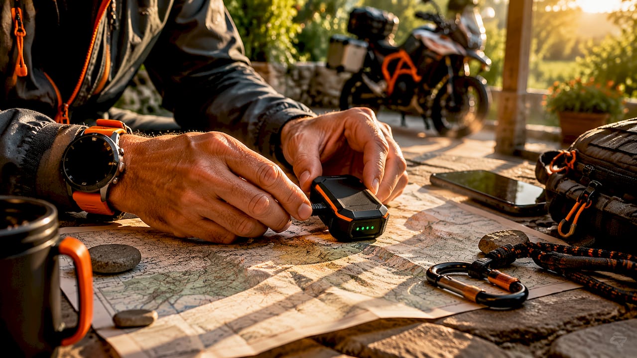
Satellite GPS tracking is the process of determining an object’s precise location using GPS satellites and then relaying that location data through orbiting communication satellites for remote monitoring. The industry standard term is GNSS-based satellite tracking, though “satellite GPS tracking” is the widely used phrase for this combined technology. The U.S. GPS constellation maintains at least 24 satellites in medium Earth orbit at 20,200 km altitude, operated by the U.S. Space Force under the NAVSTAR program. This global infrastructure makes continuous, worldwide positioning possible for vehicles, assets, and personal safety devices alike.
What is satellite GPS tracking and how does it work?
GPS tracking works through a two-step process: location calculation and data transmission. Most people assume a GPS tracker “sends” its location via satellite automatically. That assumption is only half right.
Step 1: Calculating position
A GPS receiver calculates its location through trilateration using signals from at least four satellites simultaneously. Each satellite broadcasts a time-stamped radio signal. The receiver measures how long that signal takes to arrive, multiplies it by the speed of light, and calculates the distance to each satellite. With four or more distances confirmed, the receiver pinpoints its exact 3D coordinates.
- The receiver locks onto satellite signals from the NAVSTAR GPS constellation.
- Atomic clocks onboard each satellite maintain precise timing, which ground stations continuously calibrate.
- Signal travel time converts to distance via the speed of light.
- Four distance measurements resolve latitude, longitude, altitude, and time simultaneously.
- The receiver outputs a location fix, typically accurate to 5–10 meters in open-air environments.
GPS is fundamentally a timing system, not a direction-finding system. The atomic clocks are what make it work at this level of accuracy.
Step 2: Transmitting location data
A GPS receiver calculates location but cannot send that data anywhere on its own. A separate communication module handles transmission. In satellite GPS trackers, this module connects to orbiting communication satellites such as those in the Iridium or Globalstar networks. The location fix gets packaged and relayed through those satellites to a ground station, then to a monitoring platform accessible via web or mobile app.
![]()
Pro Tip: When evaluating any GPS tracker, ask specifically whether it uses cellular or satellite communication for data transmission. The GPS chip is the same in both. The communication module is what determines global coverage.
How does satellite GPS tracking differ from cellular GPS tracking?
Both systems use identical GPS hardware to calculate position. The difference is entirely in how that position data gets sent to you.
| Feature | Satellite GPS tracking | Cellular GPS tracking |
|---|---|---|
| Positioning method | GPS trilateration | GPS trilateration |
| Data transmission | Orbiting communication satellites | Mobile tower networks |
| Coverage area | Global, including oceans and mountains | Limited to areas with cell service |
| Position accuracy | 5–10 meters | 5–10 meters (GPS chip) |
| Tower-based accuracy | Not applicable | 100–1,000 meters without GPS chip |
| Typical device cost | $150–$500 | $30–$150 |
| Ongoing fees | Satellite service subscription | Cellular data plan |
The accuracy comparison deserves a closer look. When a cellular tracker uses its GPS chip, it achieves the same 5–10 meter accuracy as a satellite tracker. The 100–1,000 meter figure applies only when a device falls back to cell tower triangulation because GPS signal is weak or unavailable. Satellite communication does not improve GPS accuracy. It simply ensures data reaches a monitoring platform even where no cell towers exist.
Key situations where cellular tracking fails and satellite tracking succeeds:
- Remote construction sites beyond tower range
- Offshore vessels and maritime shipping routes
- Cross-border trucking through rural corridors in Canada, Mexico, or the American West
- Hiking and wilderness personal safety devices
- Agricultural equipment operating in large open fields
Cellular-based GPS tracking depends on mobile tower density and is often unreliable or completely unavailable in rural and remote regions. Satellite GPS tracking fills that gap for any operation where assets move beyond reliable cell coverage.
What are the common applications and benefits of satellite GPS tracking?
Satellite GPS tracking serves three primary categories of users: fleet operators, asset managers, and individuals needing personal safety coverage.
Fleet and vehicle monitoring
Fleet managers running vehicles through remote regions rely on satellite tracking to maintain visibility at all times. A logging company operating in the Pacific Northwest, a pipeline inspection crew in West Texas, or a mining operation in Nevada all face the same problem: their vehicles leave cell coverage for hours at a time. Satellite GPS trackers report position, speed, and status regardless of terrain. This directly supports driver safety, dispatch accuracy, and fuel accountability.
Asset management
High-value equipment such as generators, trailers, and heavy machinery rarely stays in one place. Satellite trackers cost between $150 and $500 depending on features, durability, and coverage. That upfront investment protects assets worth tens or hundreds of thousands of dollars. Battery-powered satellite trackers attach to non-powered equipment and report location on a scheduled interval, preserving battery life while maintaining accountability.
Personal safety devices
Personal satellite communicators like those used by hikers, pilots, and offshore workers include GPS positioning and two-way satellite messaging. Emergency SOS functions connect directly to rescue coordination centers via satellite. These devices operate where no cell signal exists, which is exactly when emergency communication matters most.
Pro Tip: For asset tracking in areas with mixed coverage, look for hybrid devices that switch between cellular and satellite communication automatically. You get cellular update speeds in urban areas and satellite reliability in remote zones.
Key benefits of satellite GPS tracking:
- Global coverage with no dead zones tied to tower infrastructure
- Consistent reliability for cross-border and international operations
- Emergency SOS capability in life-safety applications
- Real-time monitoring for fleet safety improvements across all terrain types
- Tamper evidence and theft recovery for high-value assets
What should you consider when choosing a satellite GPS tracking solution?
Choosing the right system requires matching device capabilities to your specific operational environment. Six factors drive that decision.
-
Coverage requirements. Map where your vehicles or assets actually travel. If routes stay within reliable cell coverage, a cellular GPS tracker delivers real-time updates at lower cost. If routes cross remote terrain, satellite communication is non-negotiable.
-
Update frequency and real-time needs. Satellite communication plans often charge per message or per data packet. Frequent updates increase operating costs. Decide whether you need updates every 30 seconds or every 10 minutes. Most fleet operations function well with 2–5 minute intervals.
-
Battery life and power source. Satellite communication consumes significantly more power than cellular transmission. Hardwired vehicle trackers draw from the vehicle’s electrical system, eliminating battery concerns. Battery-powered asset trackers must balance update frequency against battery longevity. Review the fleet hardwiring guide for installation options that support continuous power.
-
Device durability. Equipment operating outdoors in harsh conditions needs an IP67 or IP68 waterproof rating and a wide operating temperature range. A tracker that fails in rain or extreme cold defeats its purpose entirely.
-
Subscription fees and total cost of ownership. Satellite service plans add ongoing costs beyond the device price. Some providers charge monthly flat rates; others charge per message. Calculate 12-month and 36-month total costs before comparing devices by sticker price alone. Subscription-free options, such as those offered by Motowatchdog, eliminate this recurring expense for businesses managing tight budgets.
-
Platform integration and ease of use. The monitoring platform determines how useful your data actually is. Look for geofencing alerts, historical route playback, mileage reporting, and mobile app access. A device that logs data accurately but presents it poorly wastes the investment. Review types of fleet GPS systems to understand how different platforms compare for fleet management needs.
Legality is also a practical consideration. Some U.S. states broadly regulate the use of electronic tracking devices on vehicles and persons. Verify local laws before deploying trackers on vehicles you do not own or on individuals without their knowledge.
Key takeaways
Satellite GPS tracking combines GPS positioning accuracy with satellite communication to deliver reliable, global location monitoring where cellular networks cannot reach.
| Point | Details |
|---|---|
| GPS and communication are separate | The GPS chip calculates location; a separate module transmits it via cellular or satellite. |
| Satellite coverage is truly global | Satellite communication works in deserts, oceans, and mountains where cell towers do not exist. |
| Accuracy is the same in both systems | GPS positioning delivers 5–10 meter accuracy regardless of whether data transmits via cell or satellite. |
| Cost scales with coverage needs | Satellite devices cost $150–$500 upfront; subscription-free options reduce long-term operating costs. |
| Legal compliance matters | Some U.S. states regulate tracking device use; verify local laws before deployment. |
Why most people misunderstand satellite GPS tracking
The phrase “satellite GPS tracking” trips up even experienced buyers. People hear “satellite” and assume the entire system works via space. The GPS positioning part does. The data transmission part may not.
I have seen fleet managers pay premium satellite service fees for vehicles that never leave urban coverage areas. They bought satellite trackers because the word “satellite” sounded more reliable. In practice, a cellular GPS tracker with a quality GPS chip delivers identical position accuracy at a fraction of the ongoing cost for in-city operations.
The real question is not “satellite or cellular?” It is “where do my assets actually go?” If the answer includes any location beyond reliable cell coverage, satellite communication earns its cost immediately. If assets stay within city limits, cellular tracking is the smarter financial decision.
The other misconception worth addressing: satellite communication does not make GPS more accurate. The GPS accuracy improvement conversation belongs to technologies like WAAS (Wide Area Augmentation System) and differential GPS, not to the communication layer. Satellite communication is purely about reach, not precision.
My practical advice for businesses adopting tracking solutions: start by auditing your coverage map before selecting a device. Then calculate total cost of ownership over 36 months, including service fees. A subscription-free device that covers your actual operational area will almost always outperform a premium satellite plan you are paying for but rarely need.
— Louis
Track smarter with Motowatchdog’s subscription-free GPS solution
Motowatchdog delivers GPS tracking without the recurring monthly fees that drain fleet budgets over time. The platform supports real-time vehicle and asset monitoring with 4G connectivity, geofencing alerts, and detailed mileage reporting built for business use.
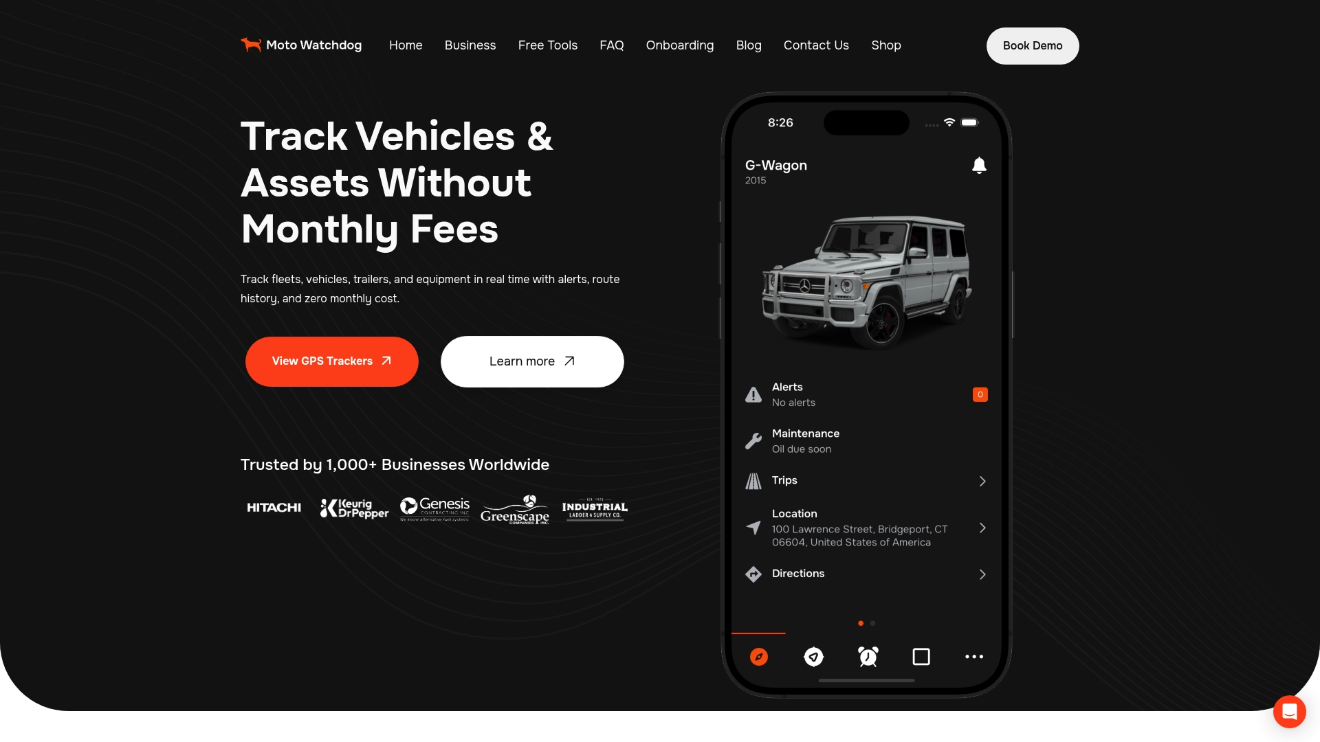
Over 1,000 businesses rely on Motowatchdog for accurate, dependable tracking across diverse operational environments. The setup is straightforward, and the interface gives fleet managers clear visibility without a steep learning curve. For operations that need reliable coverage without subscription costs eating into margins, Motowatchdog’s subscription-free tracking is worth a direct look. You can also explore no-fee GPS tracker options to understand how lifetime devices compare to traditional subscription models.
FAQ
What is the difference between GPS and satellite tracking?
GPS refers to the positioning system that calculates location using signals from at least four satellites. Satellite tracking refers to using orbiting communication satellites to transmit that location data to a remote monitoring platform.
How accurate is satellite GPS tracking?
GPS positioning is accurate to 5–10 meters in open-air environments. Satellite communication does not change that accuracy. It only affects where the data can be sent.
Do satellite GPS trackers work everywhere?
Satellite GPS trackers work globally, including oceans, deserts, and mountain ranges where cellular networks do not reach. This global coverage is the primary advantage over cellular-only tracking devices.
Are satellite GPS trackers legal to use in the United States?
GPS tracking is legal in most contexts, but some U.S. states regulate the use of tracking devices on vehicles or persons without consent. Always verify your state’s laws before deploying a tracker on a vehicle you do not own.
How much does a satellite GPS tracker cost?
Satellite GPS trackers typically cost between $150 and $500 depending on features, durability, and coverage capabilities. Ongoing satellite service fees vary by provider and update frequency.