Geofencing in Cars: How Virtual Boundaries Enhance Vehicle Security and Fleet Management
How to start saving money
Lorem ipsum dolor sit amet, consectetur adipiscing elit lobortis arcu enim urna adipiscing praesent velit viverra sit semper lorem eu cursus vel hendrerit elementum morbi curabitur etiam nibh justo, lorem aliquet donec sed sit mi dignissim at ante massa mattis.
- Neque sodales ut etiam sit amet nisl purus non tellus orci ac auctor
- Adipiscing elit ut aliquam purus sit amet viverra suspendisse potent
- Mauris commodo quis imperdiet massa tincidunt nunc pulvinar
- Excepteur sint occaecat cupidatat non proident sunt in culpa qui officia
Why it is important to start saving
Vitae congue eu consequat ac felis placerat vestibulum lectus mauris ultrices cursus sit amet dictum sit amet justo donec enim diam porttitor lacus luctus accumsan tortor posuere praesent tristique magna sit amet purus gravida quis blandit turpis.

How much money should I save?
At risus viverra adipiscing at in tellus integer feugiat nisl pretium fusce id velit ut tortor sagittis orci a scelerisque purus semper eget at lectus urna duis convallis. porta nibh venenatis cras sed felis eget neque laoreet suspendisse interdum consectetur libero id faucibus nisl donec pretium vulputate sapien nec sagittis aliquam nunc lobortis mattis aliquam faucibus purus in.
- Neque sodales ut etiam sit amet nisl purus non tellus orci ac auctor
- Adipiscing elit ut aliquam purus sit amet viverra suspendisse potenti
- Mauris commodo quis imperdiet massa tincidunt nunc pulvinar
- Adipiscing elit ut aliquam purus sit amet viverra suspendisse potenti
What percentege of my income should go to savings?
Nisi quis eleifend quam adipiscing vitae aliquet bibendum enim facilisis gravida neque. Velit euismod in pellentesque massa placerat volutpat lacus laoreet non curabitur gravida odio aenean sed adipiscing diam donec adipiscing tristique risus. amet est placerat in egestas erat imperdiet sed euismod nisi.
“Nisi quis eleifend quam adipiscing vitae aliquet bibendum enim facilisis gravida neque velit euismod in pellentesque”
Do you have any comments? Share them with us on social media
Eget lorem dolor sed viverra ipsum nunc aliquet bibendum felis donec et odio pellentesque diam volutpat commodo sed egestas aliquam sem fringilla ut morbi tincidunt augue interdum velit euismod eu tincidunt tortor aliquam nulla facilisi aenean sed adipiscing diam donec adipiscing ut lectus arcu bibendum at varius vel pharetra nibh venenatis cras sed felis eget.
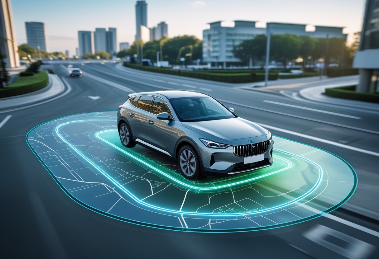
Modern vehicles equipped with GPS technology can now create invisible boundaries that trigger automatic alerts and actions when crossed. Geofencing in cars uses GPS or RFID technology to set virtual boundaries around specific locations, automatically notifying users when a vehicle enters or exits these zones.
This technology changes how drivers, parents, and fleet managers monitor vehicle movements and respond to location-based events.
The uses go beyond simple tracking. Parents use geofencing to monitor teenage drivers near school zones.
Businesses use the technology for fleet management and theft prevention.
Understanding how geofencing works, the types of alerts available, and best practices helps users get the most safety and efficiency from this technology. Setting up geofencing involves specific steps, and users should know both the strengths and limits of these solutions.
Understanding Geofencing in Cars
Geofencing creates virtual boundaries around real locations using GPS coordinates. Vehicles can trigger automatic actions when entering or leaving these areas.
This system uses GPS tracking, RFID, and telematics to monitor movement and carry out set responses.
Definition of Geofencing
Geofencing means creating virtual boundaries around physical locations. These digital borders use mapping coordinates to define where certain actions should happen.
In cars, a geofence acts as an invisible barrier that triggers responses when crossed. The technology can make circular, rectangular, or custom-shaped zones.
Common geofence shapes include:
- Circular boundaries with adjustable radius
- Rectangular zones for specific areas
- Custom polygons for complex locations
Vehicle geofences can be small, like around a building, or large, covering cities. The accuracy depends on GPS and can usually pinpoint within 3-5 meters.
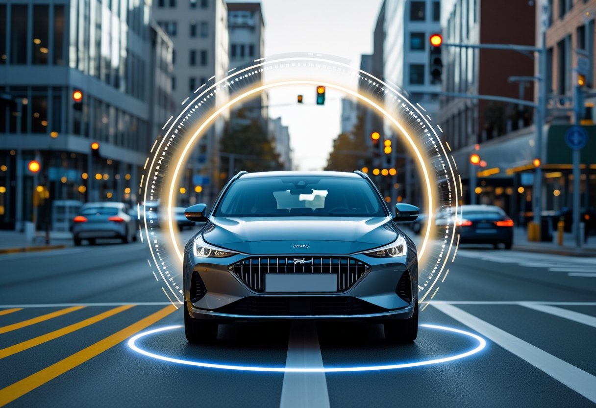
How Geofencing Works in Vehicles
Geofencing constantly tracks a vehicle's location through GPS signals. The system compares the current position to stored geofence boundaries in real time.
When a vehicle enters or exits a set area, the system detects the crossing and triggers actions like sending alerts, adjusting settings, or logging times.
This happens automatically, without the driver needing to do anything. Newer systems can manage several geofences at once and tell different zones apart.
Typical geofencing triggers:
- Entry alerts when vehicles enter restricted areas
- Exit notifications when leaving set zones
- Speed adjustments within certain boundaries
- Route logging for compliance tracking
Key Components: GPS, RFID, and Telematics
GPS technology is the main part of vehicle geofencing. Satellites provide accurate location data for boundary detection and tracking.
GPS receivers in cars constantly update position using signals from satellites. This information feeds into geofencing software for monitoring.
RFID technology adds short-range identification. RFID tags can mark locations or vehicles for automatic recognition inside geofenced areas.
Telematics systems combine GPS data with vehicle communication networks. These systems send location information and geofencing alerts to management platforms or mobile apps.
ComponentFunctionRangeGPSLocation trackingGlobal coverageRFIDClose-range identification1-100 metersTelematicsData transmissionCellular network dependent
Types of Geofence Alerts in Cars
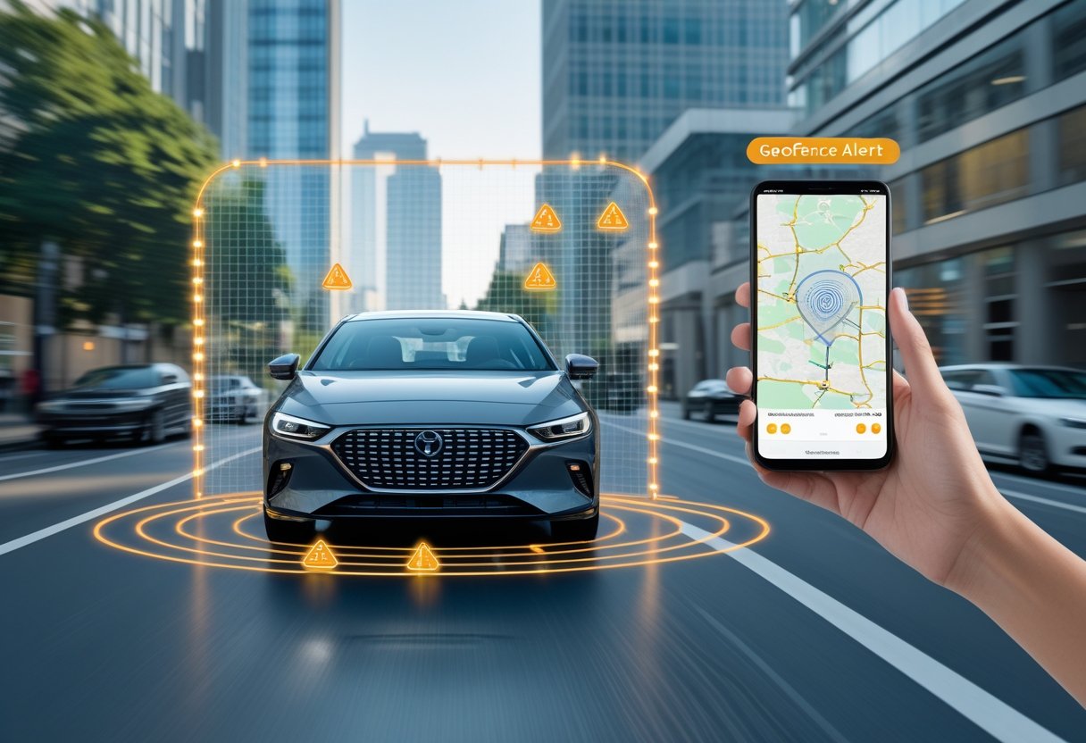
Geofence alerts in cars trigger when vehicles cross virtual boundaries or meet set conditions inside zones. These alerts give real-time notifications for entry, exit, time limits, and speed violations.
Entry Alert
Entry alerts activate when a vehicle enters a set geofenced area. The GPS tracker detects the location and sends a quick notification to the chosen recipient.
These alerts help monitor when vehicles arrive at set destinations. Parents get notifications when teens reach school or work.
Fleet managers use entry alerts to track employee arrivals at job sites. The system confirms vehicles have reached the right areas without manual check-ins.
Common entry alert uses:
- Vehicle arrival confirmations
- Security monitoring for restricted areas
- Attendance tracking for work sites
- Parental supervision of teen drivers
The alert usually includes the time and exact location. This helps users keep accurate records of vehicle movements.
Exit Alert
Exit alerts notify users when vehicles leave set geofenced boundaries. The system triggers these alerts as soon as a GPS tracker detects movement outside the area.
Vehicle theft protection is a key use for exit alerts. Owners get instant notifications if their car moves from approved parking spots without permission.
Parents use exit alerts to know when children leave safe zones like home or school. Fast notifications allow for quick response if needed.
Key benefits of exit alerts:
- Theft prevention through instant movement detection
- Teen driver monitoring for curfew and location rules
- Fleet security to stop unauthorized vehicle use
- Asset protection for valuable equipment
Exit alerts can tell the difference between allowed and unapproved departures. Users can set different notification types for different times or situations.
Time-Based Geofence Alert
Time-based geofence alerts mix location boundaries with time limits. These alerts trigger when vehicles enter or exit areas during certain time windows.
Users can set different rules for weekdays, weekends, and holidays. For example, a delivery truck might trigger alerts if it leaves the depot outside business hours.
Parents can set time-based limits for teen drivers. The alert goes off if the vehicle leaves home during school hours or after curfew.
Time-based alert uses:
- Business hour rules for company vehicles
- Curfew monitoring for young drivers
- After-hours security for parked cars
- Scheduled maintenance location checks
These alerts give more control over how and when vehicles are used. Fleet managers can spot possible policy violations or unauthorized access during restricted times.
Speed-Based Geofence Alert
Speed-based geofence alerts watch vehicle speed inside certain zones. The system sends notifications when drivers go over set limits in these areas.
School zones and neighborhoods benefit from speed-based alerts. Fleet vehicles get automatic checks to make sure they follow local speed rules.
The technology uses GPS data and real-time speed checks. Alerts go off as soon as vehicles go over speed limits in the geofenced area.
Speed-based alert uses:
- School zone speed compliance
- Construction site safety
- Residential area speed control
- Highway work zone protection
These alerts help lower risks for fleet operators. Insurance companies may offer discounts for businesses using speed-monitoring geofencing.
Speed-based alerts can have levels based on how much drivers go over the limit. Minor violations might get a warning while major speeding alerts a supervisor right away.
Advanced Geofence Alert Mechanisms
Modern geofencing systems use advanced alerts that trigger based on timing, proximity, and set journey rules. These alerts give fleet managers and vehicle owners more control over when and how notifications are sent.
Duration-Based Geofence Alert
Duration-based geofence alerts only activate when a vehicle stays inside or outside a zone for a set time. This helps avoid false alarms from quick crossings or stops.
Fleet managers can set time limits from 30 seconds to several hours. The system checks for continuous presence before sending alerts.
Common duration settings:
- Unauthorized stops: 5-15 minutes outside allowed areas
- Extended parking: 2-4 hours in restricted zones
- Overnight security: 8-12 hours for theft prevention
This alert is useful for spotting real security issues, not just normal traffic. Companies use duration-based alerts to find unauthorized long breaks or vehicles left in risky areas.
Proximity Alert
Proximity alerts trigger when vehicles come within a set distance of locations or other tracked assets. These alerts work without fixed boundaries by creating dynamic zones.
The system checks real-time distances between vehicles and targets. Alert ranges can be from 100 meters to several kilometers.
Key proximity alert uses:
- Asset protection: Warns when vehicles approach valuable equipment
- Collision prevention: Alerts when fleet vehicles get too close
- Delivery optimization: Notifies customers when drivers are near
Proximity alerts use GPS coordinates for constant distance checks. This helps prevent accidents and improves coordination between vehicles.
Journey Geofence Alert
Journey geofence alerts watch vehicle movement along set routes and trigger notifications when there are deviations. These alerts combine several geofenced waypoints for full trip monitoring.
The system tracks vehicles against planned routes and spots unapproved changes. Alerts go off when drivers skip stops or enter restricted areas on their journey.
Journey alert settings:
- Route deviation: Distance from planned paths
- Missed waypoints: Not entering required stops
- Schedule compliance: Early or late arrivals
Fleet operators set up journey alerts to match delivery routes or service areas. The technology helps keep drivers on track and meet customer or legal requirements.
Applications of Geofencing in Cars
Geofencing in cars has many practical uses for both businesses and individual vehicle owners. Owners use virtual boundaries for better security, while companies use fleet management to improve operations and lower costs.
Fleet Management
Fleet operators use geofencing to watch vehicle movements across service areas and delivery routes. The technology puts virtual boundaries around places like customer sites, warehouses, and parking zones.
Vehicle tracking systems send real-time alerts when drivers enter or exit these zones. Fleet managers get instant updates about unauthorized route changes or after-hours use.
Key fleet management benefits include:
- Route optimization with boundary-based monitoring
- Driver accountability using entry/exit times
- Fuel cost reduction by stopping unauthorized trips
- Customer service improvements through accurate arrival info
Commercial operators often save money with geofencing. The technology can also lower insurance costs by showing better fleet security and driver monitoring.
Theft Prevention
Geofencing helps prevent theft by creating secure zones around homes, workplaces, and parking spots. Vehicle tracking systems alert owners right away if their cars move beyond these boundaries without permission.
The technology triggers several security steps when vehicles cross virtual borders. Owners get smartphone notifications, emails, or texts within seconds of unauthorized movement.
Advanced theft prevention features include:
- Silent alarms that alert owners without warning thieves
- Engine immobilization in some systems
- Recovery help with continuous tracking
- Insurance support for faster claims
Law enforcement can track stolen vehicles more easily with geofencing data. Recovery rates improve when owners report thefts right after getting alerts.
Parental Controls and Safety
Parents use geofencing to monitor teenage drivers and enforce driving restrictions. Virtual boundaries around schools, neighborhoods, and approved destinations help families maintain safety.
The system sends notifications when young drivers arrive at or leave designated locations. Parents can verify school attendance, monitor curfews, and receive alerts about unauthorized destinations.
Common parental control applications include:
- School zone monitoring for attendance verification
- Speed limit enforcement within residential areas
- Restricted area alerts for off-limits locations
- Emergency notifications for unexpected route changes
Teen drivers benefit from geofencing by improving safety awareness and accountability. The technology encourages responsible driving and gives parents peace of mind.
Urban Planning and Traffic Management
City planners use geofencing data to analyze traffic patterns and plan infrastructure improvements. Vehicle movement across defined zones helps identify congestion and guide road upgrades.
Geofencing in cars supports smart city projects by providing anonymous traffic flow data. Municipal authorities can adjust traffic light timing and plan new routes based on this information.
Traffic management applications include:
- Congestion analysis through zone entry/exit data
- Public transportation optimization based on vehicle patterns
- Environmental monitoring in restricted emission zones
- Event management for crowd control and parking allocation
Commercial districts use geofencing to manage delivery schedules and reduce traffic conflicts during busy hours. The technology helps coordinate vehicle access to loading zones and restricted areas.
Geofencing in Fleet Management
Fleet managers use geofencing to create virtual boundaries around specific locations for automated vehicle monitoring and control. This GPS-based system sends real-time alerts when vehicles enter or exit zones and collects data on driver behavior and operational efficiency.
Real-Time Vehicle Tracking
GPS tracking and geofencing create virtual boundaries around customer sites, depots, and restricted areas. When vehicles cross these boundaries, fleet management software sends instant notifications to managers.
Fleet managers get automatic alerts when drivers arrive at job sites or deviate from planned routes. The system logs entry and exit times for billing and proof of service.
Key tracking capabilities include:
- Automated arrival and departure notifications
- Route deviation alerts
- Unauthorized vehicle movement detection
- After-hours usage monitoring
Vehicle tracking systems provide frequent location updates, allowing managers to respond quickly to emergencies or changes. This real-time visibility helps improve customer service.
Driver Behavior Monitoring
Geofencing helps fleet managers monitor driver behavior in specific zones. The system tracks speeding, unauthorized stops, and route compliance automatically.
Fleet management software records speeding in school zones, construction areas, or customer lots. Managers can set different speed limits for various areas.
Monitored behaviors include:
- Speed violations in designated zones
- Idle time at customer locations
- Unauthorized detours from planned routes
- After-hours vehicle usage
Driver behavior data highlights training needs and top performers. Managers can address safety concerns before incidents occur.
Optimizing Fleet Operations
Geofencing data reveals patterns in route efficiency, customer visit duration, and fuel use. Fleet software analyzes this information to find cost-saving opportunities and improve operations.
Managers can optimize dispatch decisions by reviewing travel times between geofenced locations. The system tracks how long vehicles spend at each customer site for better service estimates.
Operational benefits include:
- Reduced fuel costs through route optimization
- Improved customer communication with accurate arrival times
- Better resource allocation based on demand
- Enhanced security through unauthorized movement alerts
Fleet managers use analytics to identify underused vehicles and balance workloads. This leads to improved productivity and cost control.
Implementing Geofencing: Setup and Best Practices
Setting up geofencing involves careful planning around boundary creation, alert setup, and technology integration. The process includes establishing virtual perimeters, configuring notifications, and choosing compatible tracking hardware and software.
Creating Virtual Boundaries
Fleet managers define geofences by setting GPS coordinates that form virtual perimeters around locations. These boundaries can be circular, rectangular, or custom shapes.
Most fleet management software lets operators draw boundaries on digital maps. The system converts these boundaries into coordinate data for GPS tracking devices.
Boundary size considerations:
- Small zones (50-100 meters) for precise monitoring
- Medium zones (200-500 meters) for general coverage
- Large zones (1+ kilometers) for regional tracking
Vehicle tracking systems store these coordinates. When a vehicle’s GPS crosses a boundary, the system triggers programmed responses.
RFID technology can supplement GPS in areas with poor satellite coverage. This provides reliable detection around facilities with fixed entry and exit points.
Customizing Geofence Alerts
Alert configuration controls how and when managers receive notifications about boundary events. Fleet software offers email, SMS, app alerts, and dashboard notifications.
Managers can set different alert types for entry and exit events. Some systems allow time-based restrictions to trigger alerts only during certain hours.
Common alert customization options:
- Immediate notifications for unauthorized use
- Delayed alerts to avoid false alarms from brief crossings
- Escalation protocols to contact multiple personnel
- Silent monitoring for data collection only
The system can link alerts to specific vehicles or drivers to prevent unnecessary notifications. Advanced systems can update schedules, generate reports, or change routes automatically based on geofence activity.
Selecting and Integrating Technology
GPS tracking hardware is the foundation of geofencing systems. Devices must provide accurate location data and reliable cellular connectivity.
Fleet management software processes GPS data and manages geofence logic. It should integrate with existing operations and offer easy-to-use boundary management tools.
Key technology components:
- GPS receivers with high accuracy
- Cellular modems for real-time data
- Fleet management platforms with geofencing features
- Mobile apps for field access
Integration requires compatible communication protocols between devices and software. Many systems use standard APIs for third-party access to geofencing data.
Cloud-based platforms offer easier integration and automatic updates. These systems can scale as the fleet grows without extra hardware.
Challenges and Considerations in Geofencing for Cars
Geofencing technology faces technical and regulatory challenges that affect its reliability and adoption. Privacy concerns, GPS accuracy limits, and alert fatigue are major obstacles.
Accuracy and Reliability
GPS technology is the base for geofencing, but its accuracy changes with conditions. Urban areas with tall buildings can cause signal drift of 5-15 meters.
Tunnels and underground parking can cause complete signal loss. Weather, like heavy clouds, can also reduce GPS precision.
Geofencing needs steady connectivity to cellular networks or Wi-Fi. Network outages or weak signals can delay fence activation or deactivation.
Constant location tracking can drain batteries in vehicles and devices. Older vehicles may not have enough processing power for real-time geofence calculations.
Privacy and Compliance
Location data collection raises privacy concerns for vehicle owners and fleets. Companies must follow regulations like GDPR and state privacy laws on data storage and sharing.
Data breaches are a risk when storing detailed movement patterns. Insurance companies or law enforcement may request access to this data, creating privacy conflicts.
Employee monitoring in fleets requires clear disclosure and consent. Labor laws and union agreements may limit continuous tracking of drivers.
Third-party data sharing with mapping and analytics services creates more compliance needs. Organizations must set clear data retention and deletion policies for location records.
Alert Management
Alert fatigue happens when drivers get too many notifications. Frequent boundary crossings in cities can trigger many alerts, causing users to disable them.
False alerts can result from GPS issues near boundaries. Drivers parked close to a geofence may get multiple entry and exit notifications without moving.
Systems must prioritize critical alerts when multiple geofences overlap. They need to separate high-priority security alerts from routine notifications.
Delays between fence activation and alert delivery can make time-sensitive notifications less useful. Emergency situations need immediate alerts, but network delays can create gaps.
Frequently Asked Questions
Vehicle owners often have questions about geofencing’s benefits, security, and availability. Understanding alert mechanisms, privacy, and recent advances helps drivers make informed decisions about these systems.
What are the benefits and drawbacks of using geofencing technology in vehicles?
Geofencing provides enhanced vehicle security through theft prevention and unauthorized use monitoring. Parents can track teen drivers and receive alerts for speeding or leaving safe zones.
Fleet managers benefit from improved efficiency and lower fuel costs through route optimization. The technology enables automated reporting and helps monitor driver behavior.
Privacy concerns are a main drawback. Location data can be vulnerable if security is breached or misused.
Battery drain and reliability issues can affect older cars with retrofitted devices. Some drivers experience false alerts due to GPS interference or calibration problems.
How does a geofence alert function within the context of automotive safety and security?
Geofence alerts use GPS to monitor when vehicles cross set boundaries. The system sends notifications to designated contacts through apps or text messages when violations occur.
Entry and exit alerts notify owners when vehicles arrive or leave key locations like home, work, or school. Speed-based alerts trigger when drivers exceed limits in certain areas.
Duration-based alerts activate if vehicles stay too long in restricted zones. Proximity alerts warn drivers when they approach dangerous or unauthorized locations.
These alerts help improve security by enabling quick responses to theft or unauthorized use. Parents get real-time updates about teen driver locations and behaviors.
What advancements have been made in vehicle tracking systems through the use of geofencing?
Modern geofencing systems combine GPS, Wi-Fi, and cellular data for better accuracy. This reduces location errors from 10 meters to about 3 meters.
Cloud-based platforms process geofencing data in real time for instant alerts and historical tracking. Machine learning predicts driver patterns and optimizes boundaries.
Integration with vehicle telematics allows for monitoring engine performance, fuel use, and maintenance needs within specific areas.
Mobile apps offer customizable alert settings and interactive maps. Fleet operators can manage large numbers of vehicles through centralized dashboards and automated reports.
Can you explain the concept of a time fencing alert and its applications in modern vehicles?
Time-based geofence alerts use both location monitoring and specific time settings. These alerts only activate during set hours, such as business hours or weekend curfews.
Commercial fleets use time fencing to stop vehicles from being used after hours. This helps reduce unauthorized overtime claims.
Construction companies set equipment access to daylight hours for better security and efficiency. Parents use time-based alerts to monitor teen driving during restricted hours like late nights.
The system sends notifications when vehicles leave certain areas outside approved time windows. School districts use time fencing so buses run only during scheduled routes and approved hours.
This helps reduce fuel costs and stops unauthorized vehicle use by employees.
Which vehicles come equipped with built-in geofencing capabilities?
Most modern Mercedes-Benz models with Mercedes Me service have built-in geofencing features. BMW ConnectedDrive and Audi Connect offer similar location monitoring in newer vehicles.
Tesla vehicles provide geofencing through their mobile app with customizable boundaries. General Motors OnStar service includes geofencing on Chevrolet, GMC, and Cadillac models made after 2018.
FordPass Connect enables geofencing on F-150, Explorer, and Mustang models. Toyota Safety Connect 2.0 offers basic geofencing on some Camry, RAV4, and Highlander vehicles.
Luxury brands like Lexus, Infiniti, and Acura include geofencing in their connected car services. Most electric vehicles from major manufacturers use geofencing to monitor charging locations and improve battery performance.
What are the potential privacy and security concerns associated with car geofencing technology?
Location data collection can create detailed profiles of driver movements. This may expose personal routines and sensitive destinations.
Insurance companies might access this information to adjust premiums. They could use driving patterns and frequented locations to make decisions.
Cybersecurity vulnerabilities in connected car systems could let hackers access real-time location data. Hackers might also disable geofencing alerts.
Weak encryption protocols in older systems increase the risk of unauthorized data interception.
Data sharing agreements between automakers and third-party companies often include location information. This may happen without explicit user consent.
Government agencies may request geofencing data for surveillance through legal processes.
Employers using fleet geofencing systems can monitor employee movements beyond work activities. This can happen if personal vehicles are tracked.
Family disputes may arise when geofencing technology enables excessive monitoring of spouse or teen activities.
Stored location histories create permanent records that could be subpoenaed in legal proceedings. Users have limited control over data retention and deletion policies across different service providers.