How to start saving money
Lorem ipsum dolor sit amet, consectetur adipiscing elit lobortis arcu enim urna adipiscing praesent velit viverra sit semper lorem eu cursus vel hendrerit elementum morbi curabitur etiam nibh justo, lorem aliquet donec sed sit mi dignissim at ante massa mattis.
- Neque sodales ut etiam sit amet nisl purus non tellus orci ac auctor
- Adipiscing elit ut aliquam purus sit amet viverra suspendisse potent
- Mauris commodo quis imperdiet massa tincidunt nunc pulvinar
- Excepteur sint occaecat cupidatat non proident sunt in culpa qui officia
Why it is important to start saving
Vitae congue eu consequat ac felis placerat vestibulum lectus mauris ultrices cursus sit amet dictum sit amet justo donec enim diam porttitor lacus luctus accumsan tortor posuere praesent tristique magna sit amet purus gravida quis blandit turpis.

How much money should I save?
At risus viverra adipiscing at in tellus integer feugiat nisl pretium fusce id velit ut tortor sagittis orci a scelerisque purus semper eget at lectus urna duis convallis. porta nibh venenatis cras sed felis eget neque laoreet suspendisse interdum consectetur libero id faucibus nisl donec pretium vulputate sapien nec sagittis aliquam nunc lobortis mattis aliquam faucibus purus in.
- Neque sodales ut etiam sit amet nisl purus non tellus orci ac auctor
- Adipiscing elit ut aliquam purus sit amet viverra suspendisse potenti
- Mauris commodo quis imperdiet massa tincidunt nunc pulvinar
- Adipiscing elit ut aliquam purus sit amet viverra suspendisse potenti
What percentege of my income should go to savings?
Nisi quis eleifend quam adipiscing vitae aliquet bibendum enim facilisis gravida neque. Velit euismod in pellentesque massa placerat volutpat lacus laoreet non curabitur gravida odio aenean sed adipiscing diam donec adipiscing tristique risus. amet est placerat in egestas erat imperdiet sed euismod nisi.
“Nisi quis eleifend quam adipiscing vitae aliquet bibendum enim facilisis gravida neque velit euismod in pellentesque”
Do you have any comments? Share them with us on social media
Eget lorem dolor sed viverra ipsum nunc aliquet bibendum felis donec et odio pellentesque diam volutpat commodo sed egestas aliquam sem fringilla ut morbi tincidunt augue interdum velit euismod eu tincidunt tortor aliquam nulla facilisi aenean sed adipiscing diam donec adipiscing ut lectus arcu bibendum at varius vel pharetra nibh venenatis cras sed felis eget.
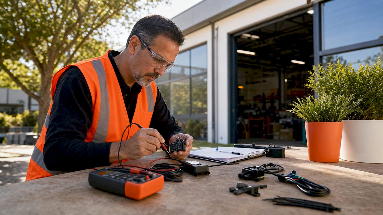
GPS chips are small electronic devices that are used to determine the location, speed, and direction of a person or object. These chips are commonly used in navigation systems, such as those found in cars and airplanes, as well as in smartphones and other mobile devices. The technology behind GPS chips has been around for several decades, but it has only recently become widely available to consumers.

GPS chips work by receiving signals from a network of satellites that orbit the Earth. These signals are used to calculate the user's location, and can be used to provide directions, track movement, and even monitor the speed and direction of a vehicle. GPS chips are becoming increasingly popular in a wide range of applications, from tracking the movements of wildlife to helping emergency responders locate people in need of assistance. As the technology continues to improve, it is likely that GPS chips will become even more ubiquitous in the years to come.
Fundamentals of GPS Technology

Global Positioning System Basics
The Global Positioning System (GPS) is a satellite-based navigation system that provides location and time information in all weather conditions, anywhere on or near the Earth. The system uses a constellation of at least 24 GPS satellites in orbit around the Earth, which transmit signals to GPS receivers on the ground. These signals are used to determine the precise location of the receiver, as well as the current time.
GPS Satellites and Constellation
The GPS satellite constellation is made up of 24 operational satellites in six orbital planes, with four satellites in each plane. The satellites are in a medium Earth orbit (MEO) at an altitude of approximately 20,200 kilometers (12,550 miles) above the Earth's surface. The GPS satellites are equipped with atomic clocks that provide extremely accurate time information, which is necessary for the GPS system to work.
Signal Transmission and Triangulation
GPS signals are transmitted by the satellites in two different frequency bands: L1 and L2. The L1 band is used for civilian applications, while the L2 band is reserved for military use. GPS receivers use the signals from multiple satellites to determine the receiver's location through a process called triangulation. Triangulation involves measuring the time it takes for the GPS signal to travel from the satellite to the receiver, and using this information to calculate the distance between the satellite and the receiver. By measuring the distance from at least three satellites, the GPS receiver can determine its location on the Earth's surface.
Overall, the GPS technology is a reliable and accurate way to determine location and time information. The use of atomic clocks and triangulation techniques allows for precise measurements, making GPS a valuable tool for a wide range of applications, from navigation to surveying to scientific research.
GPS Chips and Modules

Types of GPS Chips
GPS chips are electronic components that receive signals from GPS satellites and calculate the device's location. There are various types of GPS chips available in the market, including standalone chips, integrated chips, and hybrid chips. Standalone chips are small and low-cost, while integrated chips come with additional features such as sensors and connectivity options.
Hybrid chips combine GPS with other positioning technologies such as GLONASS, Galileo, and Beidou. These chips provide faster and more accurate location data, especially in urban areas with high-rise buildings and other obstacles that can interfere with GPS signals.
GPS Modules Integration
GPS modules are pre-packaged GPS solutions that include a GPS chip, antenna, and other components needed for GPS functionality. These modules are easy to integrate into devices, making them a popular choice for manufacturers.
GPS modules come in various sizes and form factors, including surface-mount and through-hole packages. Some modules also offer additional features such as Bluetooth connectivity, which allows the device to communicate with other devices such as smartphones.
Advanced Features in GPS Chips
Advanced GPS chips come with features such as advanced multipath mitigation, multi-GNSS disciplined oscillator, multi-frequency GNSS, and high sensitivity GPS. These features improve the accuracy, reliability, and speed of GPS positioning.
Advanced multipath mitigation reduces the impact of signal reflections from buildings and other objects, improving the accuracy of positioning data. Multi-GNSS disciplined oscillator ensures precise timing synchronization across multiple GNSS systems, improving the reliability of location data.
Multi-frequency GNSS allows the chip to receive signals from multiple frequencies, improving the accuracy of location data in challenging environments. High sensitivity GPS allows the chip to receive weaker signals, enabling positioning in areas with poor signal strength.
Overall, GPS chips and modules are essential components in modern devices that require location-based services. With the advancement of technology, GPS chips are becoming more accurate, reliable, and feature-rich, providing users with a seamless and immersive experience.
GPS Receivers and Accuracy

How GPS Receivers Work
GPS receivers are electronic devices that receive signals from GPS satellites and use them to determine the receiver's location on Earth. These signals are transmitted at a frequency of 1575.42 MHz and carry information about the satellite's location and the current time. The receiver uses this information to calculate its position using a process called trilateration.
In trilateration, the receiver measures the time it takes for the satellite's signal to travel to the receiver. By knowing the speed of light, the receiver can calculate the distance between itself and the satellite. The receiver then uses the signals from at least three satellites to determine its position on Earth.
Factors Affecting Position Accuracy
Several factors can affect the accuracy of a GPS receiver's position. One of the most significant factors is the number of satellites the receiver can "see." The more satellites the receiver can detect, the more accurate its position will be. Additionally, the position accuracy can be affected by the quality of the receiver's antenna and the receiver's ability to filter out interference from other sources.
Another factor that can affect the accuracy of a GPS receiver's position is the type of GPS signal it receives. There are two types of GPS signals: single-band and dual-band. Dual-band signals are more accurate than single-band signals because they use two frequencies instead of one. Additionally, the Wide Area Augmentation System (WAAS) can enhance the accuracy of GPS signals by providing correction data to the receiver.
Enhancing GPS Accuracy
There are several ways to enhance the accuracy of a GPS receiver's position. One way is to use a receiver that is capable of receiving dual-band signals. Another way is to use a receiver that is WAAS-enabled. Additionally, using an external antenna can improve the receiver's ability to detect GPS signals and filter out interference.
In conclusion, GPS receivers use trilateration to determine their position on Earth by measuring the time it takes for GPS signals to travel from satellites to the receiver. Several factors can affect the accuracy of a GPS receiver's position, including the number of satellites the receiver can detect, the type of GPS signal it receives, and the quality of the receiver's antenna. However, there are several ways to enhance the accuracy of a GPS receiver's position, including using a dual-band receiver, a WAAS-enabled receiver, or an external antenna.
GPS Data and Protocols

Understanding NMEA Data
NMEA data, or National Marine Electronics Association data, is a standard protocol used to transmit GPS data. It is a simple ASCII text-based format that includes information such as latitude, longitude, altitude, and time. The NMEA data is sent in the form of sentences, with each sentence starting with a dollar sign ($) and ending with a carriage return and line feed (\r\n).
The NMEA data can be easily parsed by software and hardware devices, making it a popular choice for GPS applications. The most common NMEA sentences used in GPS devices are GGA (Global Positioning System Fix Data), RMC (Recommended Minimum Navigation Information), and GSA (GPS DOP and Active Satellites).
GPS Data Updates and Synchronization
GPS data updates and synchronization are critical for accurate positioning and timing. GPS devices receive data from multiple satellites, and the accuracy of the data depends on the number of satellites in view and the quality of the signals received.
To ensure accurate positioning, GPS devices use a process called synchronization, which involves adjusting the device's clock to match the GPS time. This synchronization is essential for accurate timing and is achieved by receiving data from the GPS satellites and comparing it to the device's internal clock.
GPS devices also use atomic clocks to ensure accurate timing. Atomic clocks are highly accurate clocks that use the vibrations of atoms to keep time. GPS devices receive timing information from atomic clocks on the GPS satellites, which allows them to maintain accurate time even in areas with poor satellite reception.
In conclusion, understanding GPS data and protocols is essential for accurate positioning and timing. The NMEA data protocol is a popular choice for GPS applications due to its simplicity and ease of use. GPS data updates and synchronization are critical for accurate positioning and timing, and GPS devices use a combination of satellite data and atomic clocks to ensure accuracy.
Applications and Use Cases

Navigation and Tracking
GPS chips have revolutionized the way people navigate and track their movements. These chips allow for accurate positioning and tracking of individuals, vehicles, and assets. Navigation systems equipped with GPS chips can provide turn-by-turn directions, real-time traffic updates, and estimated time of arrival. GPS tracking can also be used to monitor the movements of vehicles and assets, allowing for better logistics and inventory management.
Location-Based Services
Location-based services (LBS) are a growing field that utilizes GPS chips to provide users with relevant information based on their current location. This can include recommendations for nearby restaurants, stores, and attractions, as well as information on local events and weather conditions. LBS can also be used for targeted advertising, allowing businesses to reach potential customers in specific locations.
Industry-Specific Applications
GPS chips are used in a variety of industries to improve efficiency and safety. In agriculture, GPS chips can be used to map fields and optimize crop yields. In construction, GPS tracking can be used to monitor the location and movement of heavy equipment, ensuring that it is being used efficiently and safely. GPS chips are also used in search and rescue operations, allowing for quick and accurate location of missing persons.
Overall, GPS chips have a wide range of applications and use cases, from navigation and tracking to industry-specific applications. As the technology continues to improve, it is likely that we will see even more innovative uses for GPS chips in the future.
Technical Challenges and Solutions

Common GPS Chip Problems
GPS chips face several technical challenges that can affect their performance. One of the most common problems is the inability to obtain a lock or fix on a signal due to weak or obstructed signals. This can happen in areas with tall buildings, dense forests, or deep canyons. Another issue is signal interference caused by radio frequency (RF) noise from other electronic devices or natural sources like thunderstorms.
Signal Interference and Mitigation
To mitigate signal interference, GPS chips use anti-jamming techniques that filter out unwanted signals and amplify the desired ones. One such technique is active anti-jamming, which uses directional antennas to nullify interfering signals. Another technique is self-ephemeris, which allows the GPS chip to predict satellite positions and reduce the time required to obtain a lock on a signal.
Future Developments in GPS Technology
The future of GPS technology looks promising with the introduction of new features like Assisted GNSS (A-GNSS) and Active Antenna Systems (AAS). A-GNSS uses data from cellular networks to supplement GPS signals and improve location accuracy, especially in urban areas. AAS, on the other hand, uses electronically steered antennas to improve signal strength and reduce interference.
In conclusion, GPS chips face several technical challenges, but with the use of anti-jamming techniques and the introduction of new features, these challenges can be mitigated. As GPS technology continues to evolve, we can expect more accurate and reliable navigational systems in the future.
Developing with GPS Chips

GPS in Embedded Systems
GPS chips have become an essential component in many embedded systems, including those used in navigation, tracking, and location-based services. GPS chips provide accurate and reliable location data, making them ideal for use in a wide range of applications.
One popular platform for developing embedded systems with GPS chips is the Arduino. The Arduino is an open-source electronics platform that is easy to use and highly customizable. With the help of GPS libraries such as TinyGPS++ and TinyGPS, developers can easily integrate GPS functionality into their Arduino projects.
Programming with GPS Libraries
Programming with GPS libraries is a straightforward process that involves initializing the GPS module, receiving data from the module, and parsing the data to extract the relevant information. The TinyGPS++ library, for example, provides a simple and efficient way to parse GPS data and extract latitude, longitude, altitude, and other relevant information.
Serial communication is typically used to communicate with the GPS module, and the data is often displayed on an interface such as an LCD screen or a computer monitor. With the help of GPS libraries and serial communication, developers can create sophisticated GPS-based applications with ease.
In conclusion, developing with GPS chips is a straightforward process that requires some basic knowledge of programming and electronics. With the help of GPS libraries and platforms such as the Arduino, developers can create innovative and useful applications that leverage the power of GPS technology.
Glossary and Additional Resources

GPS Glossary of Terms
Understanding the terminology used in GPS technology is crucial for anyone looking to work with GPS chips. Here are some of the most commonly used terms:
- Latitude: The angular distance of a location north or south of the Earth's equator, measured in degrees.
- Longitude: The angular distance of a location east or west of the prime meridian, measured in degrees.
- Distance: The measurement of the space between two points, usually measured in kilometers or miles.
- Number of Satellites: The number of GPS satellites in view of a GPS receiver at any given time.
- GLONASS: A Russian satellite navigation system that provides an alternative to GPS.
- Galileo: A European satellite navigation system that provides an alternative to GPS.
- QZSS: A Japanese satellite navigation system that provides regional coverage in the Asia-Pacific region.
- Furuno: A Japanese electronics company that produces GPS devices and other marine electronics.
- Dead Reckoning: A navigation technique that estimates a vessel's position based on its previous position, speed, and direction of travel.
Helpful Tools and Resources
There are a variety of tools and resources available for those working with GPS chips. Here are a few:
- GPS Visualizer: A free online tool that allows users to upload GPS data and visualize it on a map.
- GPSBabel: A free software program that converts GPS data from one format to another.
- GPS World: A website that provides news and information about GPS technology.
- GPS.gov: A website managed by the U.S. government that provides information about GPS technology and its applications.
By understanding the terminology and utilizing the available tools and resources, anyone can become proficient in working with GPS chips.