GPS Locator Technology: How Modern Tracking Systems Are Revolutionizing Personal and Asset Security
How to start saving money
Lorem ipsum dolor sit amet, consectetur adipiscing elit lobortis arcu enim urna adipiscing praesent velit viverra sit semper lorem eu cursus vel hendrerit elementum morbi curabitur etiam nibh justo, lorem aliquet donec sed sit mi dignissim at ante massa mattis.
- Neque sodales ut etiam sit amet nisl purus non tellus orci ac auctor
- Adipiscing elit ut aliquam purus sit amet viverra suspendisse potent
- Mauris commodo quis imperdiet massa tincidunt nunc pulvinar
- Excepteur sint occaecat cupidatat non proident sunt in culpa qui officia
Why it is important to start saving
Vitae congue eu consequat ac felis placerat vestibulum lectus mauris ultrices cursus sit amet dictum sit amet justo donec enim diam porttitor lacus luctus accumsan tortor posuere praesent tristique magna sit amet purus gravida quis blandit turpis.

How much money should I save?
At risus viverra adipiscing at in tellus integer feugiat nisl pretium fusce id velit ut tortor sagittis orci a scelerisque purus semper eget at lectus urna duis convallis. porta nibh venenatis cras sed felis eget neque laoreet suspendisse interdum consectetur libero id faucibus nisl donec pretium vulputate sapien nec sagittis aliquam nunc lobortis mattis aliquam faucibus purus in.
- Neque sodales ut etiam sit amet nisl purus non tellus orci ac auctor
- Adipiscing elit ut aliquam purus sit amet viverra suspendisse potenti
- Mauris commodo quis imperdiet massa tincidunt nunc pulvinar
- Adipiscing elit ut aliquam purus sit amet viverra suspendisse potenti
What percentege of my income should go to savings?
Nisi quis eleifend quam adipiscing vitae aliquet bibendum enim facilisis gravida neque. Velit euismod in pellentesque massa placerat volutpat lacus laoreet non curabitur gravida odio aenean sed adipiscing diam donec adipiscing tristique risus. amet est placerat in egestas erat imperdiet sed euismod nisi.
“Nisi quis eleifend quam adipiscing vitae aliquet bibendum enim facilisis gravida neque velit euismod in pellentesque”
Do you have any comments? Share them with us on social media
Eget lorem dolor sed viverra ipsum nunc aliquet bibendum felis donec et odio pellentesque diam volutpat commodo sed egestas aliquam sem fringilla ut morbi tincidunt augue interdum velit euismod eu tincidunt tortor aliquam nulla facilisi aenean sed adipiscing diam donec adipiscing ut lectus arcu bibendum at varius vel pharetra nibh venenatis cras sed felis eget.
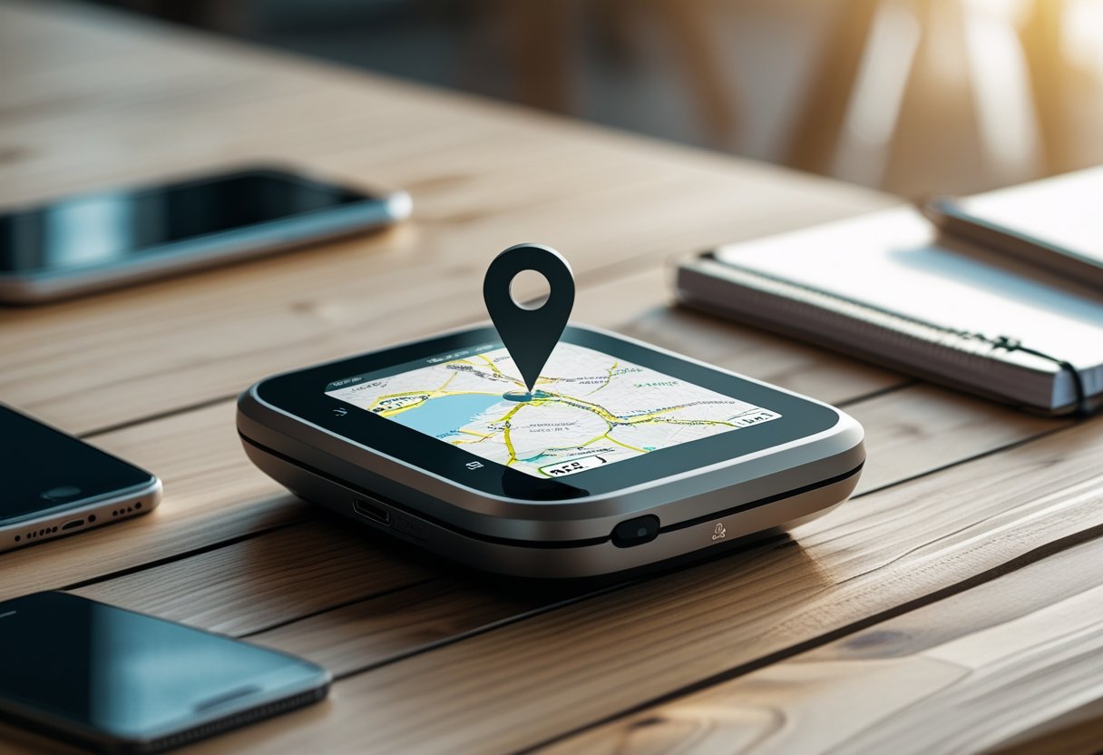
GPS locators have changed how people navigate and track locations today. These devices use satellite technology to find exact positions anywhere on Earth.
They provide precise coordinates that can be shown as addresses or mapped locations.
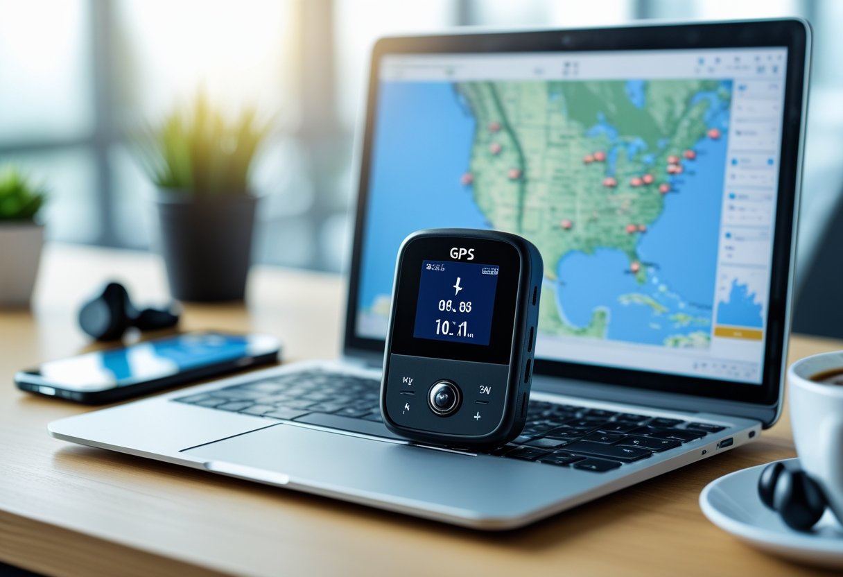
GPS locators receive signals from satellites to determine latitude and longitude. This information can help find locations, track movement, or share position details.
The technology now offers real-time tracking, coordinate conversion, and integration with mapping services.
Understanding how GPS coordinates work and using locator tools has many practical uses. These systems help in emergencies or outdoor adventures by providing reliable location data.
You can access this data through dedicated devices, smartphones, or web platforms that convert coordinates into geographic information.
What Is a GPS Locator?
A GPS locator is a device that uses satellites to find precise coordinates and track real-time positions. These devices also send location data to users through different platforms.
How GPS Locators Work
GPS locators connect to satellites orbiting Earth to calculate their position. The device needs signals from at least four satellites to determine latitude, longitude, altitude, and time.
The locator measures how long signals take to travel from each satellite. This process, called trilateration, helps pinpoint the device’s location within a few meters.
Once the GPS locator finds its position, it sends this data through cellular networks, WiFi, or Bluetooth. Most modern devices use 4G or LTE networks to share real-time location information with apps or web platforms.
GPS locators are usually accurate within 3 to 15 feet in good conditions. Tall buildings, thick forests, or underground areas can weaken signals and reduce accuracy.
Key Features of GPS Location Devices
Real-time tracking gives continuous location updates, often every few seconds or minutes. Users can see movement patterns and get instant alerts when the device moves.
Geofencing lets users set virtual boundaries on a map. The device sends alerts when it enters or leaves these zones, which is helpful for monitoring restricted areas.
Historical tracking saves location data over time. This feature creates movement reports and route histories for users to review.
Battery life varies between devices, lasting from several days to weeks depending on tracking frequency and device type. Some locators have power-saving modes to last longer.
Waterproof designs protect the device from water and harsh weather. Many GPS locators are rugged for outdoor and tough environments.
Main Uses and Applications
Vehicle tracking is the largest use for GPS locators. Fleet managers use them to monitor delivery trucks, optimize routes, and improve fuel efficiency.
Personal safety uses include tracking elderly family members, children, or people with medical conditions. Caregivers get location updates and emergency alerts when needed.
Asset protection helps businesses keep track of valuable equipment and inventory. Companies use GPS locators to prevent theft and quickly find stolen items.
Pet tracking lets owners monitor their animals’ locations and activity. These devices attach to collars for peace of mind.
Outdoor recreation supports hikers, campers, and travelers who need reliable navigation. GPS locators provide backup communication in remote areas without cell service.
Understanding GPS Coordinates
GPS coordinates use latitude and longitude to identify locations on Earth. There are three main formats: decimal degrees, degrees minutes seconds, and degrees decimal minutes.
These systems use universal numbers instead of street addresses, making them work anywhere.
Latitude and Longitude Explained
Latitude and longitude form a grid that covers Earth’s surface.
Latitude measures distance north or south from the equator. The equator is 0 degrees, the North Pole is 90 degrees north, and the South Pole is 90 degrees south.
Longitude measures distance east or west from the Prime Meridian. The Prime Meridian is 0 degrees in Greenwich, England, with measurements going 180 degrees in each direction.
Latitude and longitude together pinpoint any place. The first number is latitude; the second is longitude.
Positive latitude values mean the northern hemisphere. Negative values mean the southern hemisphere.
Positive longitude values mean the eastern hemisphere. Negative values mean the western hemisphere.
GPS Coordinate Formats
GPS coordinates come in three standard formats.
Decimal Degrees (DD) use decimal numbers. Example: 40.7589, -73.9851 for a location in New York City. This format is best for digital devices and apps.
Degrees Minutes Seconds (DMS) splits coordinates into degrees, minutes, and seconds. The same New York location is 40°45'32"N, 73°59'06"W. Traditional maps often use this format.
Degrees Decimal Minutes (DDM) combines degrees with decimal minutes. The New York example becomes 40°45.533'N, 73°59.106'W.
FormatExampleBest UseDecimal Degrees40.7589, -73.9851Digital devices, GPS appsDMS40°45'32"N, 73°59'06"WTraditional navigationDDM40°45.533'N, 73°59.106'WMarine navigation
Latitude and Longitude vs. Other Location Systems
Latitude and longitude have advantages over street addresses. Addresses only work in established areas and can change.
GPS coordinates stay the same no matter what happens to boundaries or development. The same latitude and longitude always point to the same spot.
Addresses do not work in remote or undeveloped places. Latitude and longitude work everywhere, including cities, forests, deserts, and oceans.
GPS finder tools can convert between coordinates and street addresses. This helps users switch formats when needed.
Emergency services use GPS coordinates for more precise locations than addresses. Coordinates can pinpoint within meters, while addresses may cover whole buildings or blocks.
Finding and Using GPS Coordinates
GPS coordinates provide exact location data using latitude and longitude. Users can find their current position, convert addresses to coordinates, or use maps to locate any point.
How to Find Your Current Location
Most smartphones and GPS devices automatically detect your current coordinates. You can find this information in built-in mapping apps or dedicated GPS tools.
The "where am I" feature in apps shows real-time location data. It displays both the address and the latitude and longitude.
Common ways to find your location include:
- Device GPS settings
- Mapping applications
- Web-based coordinate finders
- Dedicated GPS tools
Many GPS apps also show details like elevation, accuracy, and nearby landmarks. These tools often display coordinates in both decimal degrees and degrees-minutes-seconds.
Finding Coordinates for Any Address
To convert addresses to GPS coordinates, use mapping services or special tools. Enter a street address or landmark to get the latitude and longitude.
You can also convert coordinates back to addresses. The tool processes the input and returns precise location data quickly.
Address-to-coordinate conversion steps:
- Enter the complete address
- Select search or find location
- Review the coordinates and map position
- Copy coordinates in your preferred format
Converting GPS coordinates to addresses is useful for planning trips, sharing locations, and keeping records.
Using Maps to Locate GPS Coordinates
Interactive maps let users click any spot to get coordinates. The map shows latitude and longitude for the selected point.
Right-clicking on a map usually reveals coordinates in a menu. You can also search maps by entering known coordinates.
Map-based features include:
- Click-to-get-coordinates
- Coordinate search
- Different map views
- Location marking tools
Zoom controls help users pinpoint exact spots for accurate coordinates. These tools often offer satellite images, terrain, and street views for better identification.
Converting GPS Coordinates
GPS coordinates can be shown in different formats. Conversion between formats is important for navigation and mapping.
Modern converter tools make it easy to switch between systems or convert addresses to coordinates.
Decimal Degrees and DMS Conversion
Decimal degrees show latitude and longitude as decimal numbers. Degrees minutes seconds (DMS) splits them into three parts.
For example, decimal degrees: 40.7128, -74.0060. The same location in DMS: 40°42'46"N, 74°00'22"W.
To convert DMS to decimal degrees, divide minutes by 60 and seconds by 3600, then add to degrees. Use negative numbers for southern latitudes and western longitudes.
Examples:
- Decimal Degrees: 34.0522, -118.2437
- DMS: 34°03'08"N, 118°14'37"W
- Degrees Decimal Minutes: 34°03.133'N, 118°14.622'W
Coordinate Converter Tools
GPS coordinate converters handle formats like decimal degrees, DMS, UTM, MGRS, and WGS84. These tools change coordinates between systems automatically.
Most converter apps provide real-time results as you enter data. Enter coordinates in one format, and the tool shows them in others.
Professional GPS tools support various mapping systems. UTM works for surveying, while MGRS is used by the military and emergency services.
Modern converter tools include maps to display converted coordinates visually. Users can check accuracy by viewing the exact spot on street and satellite maps.
Converting Addresses to Coordinates
Converting addresses to GPS coordinates uses geocoding services. These match address details with coordinate databases.
Enter the full address, including street, city, state, and postal code. The tool finds the location and returns the coordinates.
Reverse geocoding converts coordinates back to addresses. This helps users identify places when they only have latitude and longitude.
Address conversion steps:
- Enter the full address
- System searches the database
- Returns GPS coordinates
- Shows location on a map
Accuracy depends on the address and database quality. Rural areas may be less precise than cities with detailed mapping.
Practical Uses of GPS Locators
GPS locators are useful for navigation, outdoor adventures, and location-based services. These devices help users find directions, stay safe during activities, and share location information.
Navigation and Travel
GPS locators provide turn-by-turn directions for drivers, pedestrians, and cyclists. They calculate optimal routes using real-time traffic and road closure data.
Travelers use GPS locators to find restaurants, gas stations, and hotels nearby. The technology adjusts to local road systems and traffic in different countries.
Key navigation features include:
- Real-time traffic updates
- Alternative route suggestions
- Voice-guided directions
- Offline map capabilities
Commercial drivers use GPS locators for efficient delivery routes. Fleet managers track vehicles to optimize schedules and reduce fuel costs.
GPS locators help users navigate unfamiliar cities with accurate street addresses and zip codes. These devices work in both urban and rural areas using satellite connectivity.
Outdoor Activities and Safety
Hikers use GPS locators for wilderness navigation where there is no cell service. These devices store topographic maps and mark key waypoints on trails.
Emergency responders use GPS coordinates to find lost or injured people. Search and rescue teams pinpoint exact locations using latitude and longitude data.
Safety applications include:
- Emergency location beacon activation
- Breadcrumb trail recording
- Weather alert notifications
- SOS signal transmission
Hunters and campers use GPS locators to mark hunting spots and campsites. The devices help users return to vehicles or base camps in poor visibility.
GPS locators track wildlife for research. Scientists attach small devices to animals to study migration and habitat use.
Location Sharing and Address Lookup
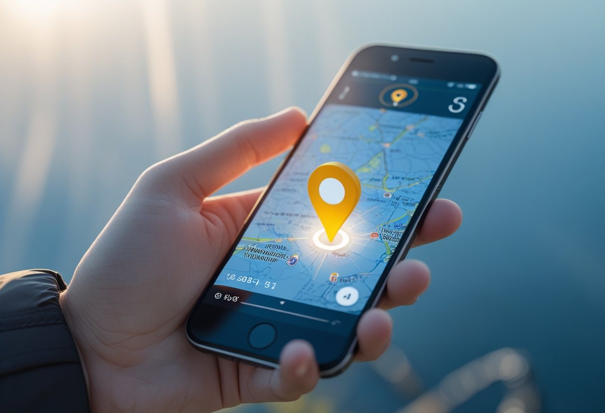
GPS coordinates finder tools help users determine their exact position. These apps display latitude, longitude, and street addresses.
My location services use GPS data to show current position. Users can share this data through messaging apps or social media.
GPS coordinates tools convert between location formats. They translate street addresses into numerical coordinates and vice versa.
Businesses use GPS locators to help customers find store locations. The technology provides directions from any starting point to specific addresses.
Real estate professionals share property coordinates with buyers. GPS locators help clients reach viewing appointments using precise data.
Advanced Features and Related Technologies
Modern GPS locators use multiple location technologies, including IP address tracking through internet service providers. These systems balance accuracy with privacy and deliver location data through mobile and web apps.
IP Address and ISP Location Tracking
GPS locators often use IP address tracking as a backup positioning method. This technology identifies device locations using internet service provider data instead of satellite signals.
ISP-based location detection maps IP addresses to geographic regions. Internet providers assign IP addresses to coverage areas, allowing location estimates down to city or zip code levels.
This system is helpful in environments where GPS signals are weak. Indoor locations or urban areas with interference can be tracked through Wi-Fi or cellular IP connections.
Accuracy levels vary based on ISP infrastructure and location density. Cities usually get city-level precision, while rural regions may provide only county or state-level accuracy.
Most systems combine IP tracking with GPS coordinates for better reliability. This dual approach ensures location monitoring even if satellite connectivity is unavailable.
Accuracy and Privacy Considerations
Modern GPS locators are accurate within 3-5 meters under good conditions. Precision depends on satellite visibility, weather, and device quality.
Environmental obstacles like forests, tall buildings, or underground locations can reduce accuracy to 10-50 meters. Weather conditions, such as heavy clouds, also affect signal strength.
Privacy protection requires proper data handling. Location information can include sensitive details like home and work addresses.
Data encryption protects location coordinates from unauthorized access. Most systems use AES-256 encryption for data transmission and storage.
User consent features let individuals control location sharing. Options include disabling tracking, setting time limits, or restricting access to certain areas.
Some applications allow sharing only approximate locations for privacy. This shows general areas instead of exact coordinates.
Mobile and Web Apps for GPS Locators
Dedicated apps provide real-time GPS locator data on multiple platforms. These apps support both iOS and Android devices and offer web-based dashboards.
Core features include live location display, historical route tracking, and geofence alerts. Users can view current positions on maps and get notifications for specific events.
Mobile apps send push notifications for immediate alerts. Events like unauthorized movement or low battery trigger instant notifications.
Dashboard interfaces show multiple tracking devices at once. Fleet managers and families can monitor several GPS locators on a single platform.
Web apps offer expanded features for analysis. These platforms include reporting tools, data export, and controls for managing user accounts.
Battery optimization features extend device life while keeping location accurate. Smart power management adjusts tracking intervals based on movement.
Frequently Asked Questions
GPS tracking brings up questions about vehicle monitoring, smartphone apps, mobile number location, device detection, costs, and coordinate accuracy.
How can I track a vehicle using GPS technology?
To track a vehicle, install a GPS device or use a smartphone app with location sharing enabled. Most GPS tracking devices connect to the vehicle's power and send location data to a monitoring platform.
The device communicates with GPS satellites to get coordinates and sends this data through cellular networks to a web system or app.
Users can access real-time location, view past routes, and set up alerts for specific events. Some systems also offer speed monitoring, geofencing, and engine diagnostics.
What are the best GPS tracking apps available for smartphones?
Popular GPS tracking apps include Find My iPhone for Apple devices and Find My Device for Android phones. These built-in services offer basic tracking and device recovery.
Third-party apps like Life360 provide family location sharing and driving reports. Google Maps lets users share real-time location for set periods.
Apps like Spyzie and FlexiSpy offer advanced monitoring features. These require installation on the target device and may need special permissions.
Is it possible to locate someone's position by their mobile number?
Direct location tracking using only a phone number is not generally available. Cellular carriers can estimate locations using cell towers but only share this with authorized personnel.
Emergency services can access location data when calls are made to 911. Law enforcement may obtain this information with proper legal steps.
Some commercial services claim to track phone numbers but are often limited in accuracy. These typically require user consent or a pre-installed app.
What methods are used to detect unauthorized GPS tracking devices?
Physical inspection is the most reliable way to find hidden GPS trackers. Common spots include under the dashboard, wheel wells, beneath seats, and around the engine.
RF detectors can find radio signals from GPS trackers. These work best when the device is actively transmitting.
Professional bug sweep services use advanced tools to locate sophisticated trackers. Routine vehicle inspections can also reveal hidden devices.
Can GPS locators be used without incurring any cost?
Basic GPS use is free because the satellite system has no subscription fees. Smartphone GPS features work without extra charges except for standard data usage.
Free tracking apps offer limited features compared to paid services. These may have ads or restrict the number of devices you can monitor.
Commercial GPS tracking devices usually require monthly service fees for cellular data. Hardware prices vary from basic consumer devices to professional systems.
How accurate are GPS devices in determining exact coordinates?
Modern GPS devices are usually accurate within 3 to 5 meters when satellite visibility is clear. Accuracy can be affected by atmospheric interference, satellite positions, and the quality of the receiver.
In cities with tall buildings, signal interference can reduce accuracy to 10-15 meters. Thick forests and indoor areas may block GPS signals completely.
Some GPS systems use extra satellite networks like GLONASS and Galileo to improve accuracy. Differential GPS technology can reach sub-meter precision for tasks that need very high accuracy.